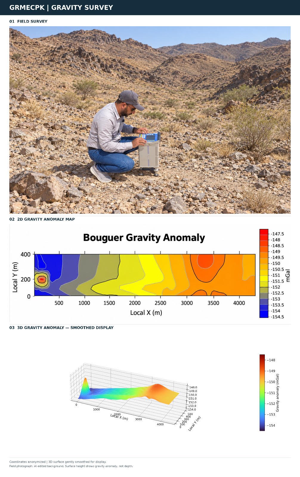
Accurate measurements in the field form the foundation of meaningful subsurface interpretation. At GRMECPK, our gravity survey expertise combines careful survey planning and instrument operation with systematic data processing and geological interpretation.
Our workflow includes base station observations, repeat measurements, precise positioning and elevation control, drift correction, gravity reductions, and Bouguer anomaly mapping. Quality checks throughout acquisition and processing help ensure consistent, reliable results.
By investigating subsurface density contrasts, gravity surveys support mineral targeting, geological structure mapping, and bedrock investigations.
We integrate gravity results with geological mapping and complementary geophysical methods to guide further exploration and investigation.
BLOG
Gravity Survey Expertise at GRMECPK
GRMECPK brings practical gravity survey expertise to mineral exploration, covering field acquisition, quality control, data processing, and subsurface interpretation.