FROM MINERALs EXPLORATION TO EXTRACTION

GEOLOGICAL SERVICES
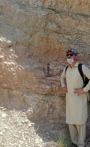
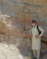
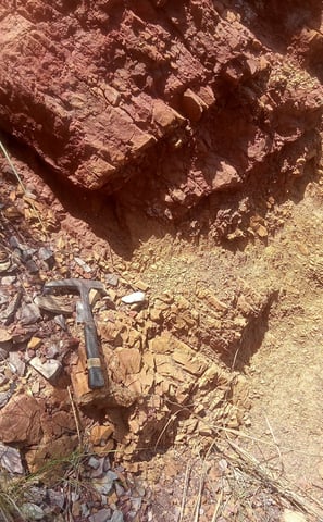
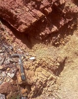
1. Field Study
Description: A fundamental component of geological studies, field studies involve the direct observation and collection of geological data in a specific area.
Key Activities:
Mapping: Recording rock types, structures, and mineral occurrences.
Sampling: Collecting soil, rock, and sediment samples for laboratory analysis.
Observation: Noting geological features such as faults, folds, and mineralization.
Purpose: Provides the foundational data for further analysis, allowing geologists to understand the geological history and processes of the study area.
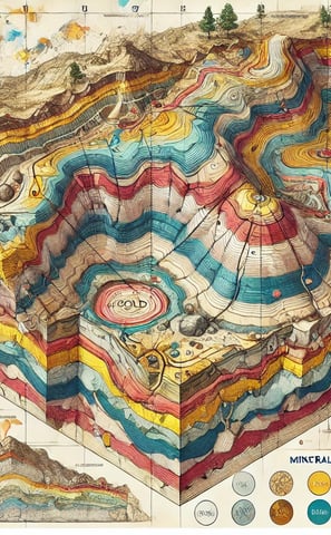
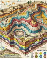
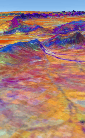
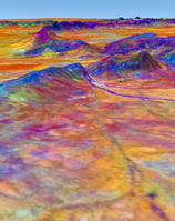
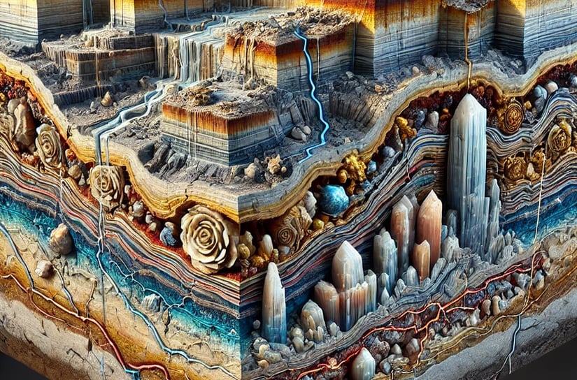
2. Structural Modeling (2D and 3D)
2D Structural Modeling
Description: Represents geological features and relationships in two dimensions, typically through cross-sectional diagrams.
Applications: Used for visualizing the arrangement of rock layers, faults, and folds to understand geological structure.
Techniques: Creation of geological cross-sections based on field data and drilling results.
3D Structural Modeling
Description: Provides a three-dimensional visualization of geological structures, offering a more comprehensive view of subsurface conditions.
Applications: Useful for resource exploration, understanding geological formations, and planning mining operations.
Techniques: Utilizes specialized software to integrate data from boreholes, geophysical surveys, and geochemical analyses to create detailed 3D models of the geological setting.
3. Stratigraphic Study
Description: Involves the analysis of rock layers (strata) to understand their composition, distribution, and age relationships.
Key Activities:
Layer Identification: Mapping and describing distinct layers of rock.
Correlation: Establishing relationships between layers across different locations to understand geological history and processes.
Chronostratigraphy: Dating the layers to construct a timeline of geological events.
Purpose: Essential for identifying resource deposits and understanding sedimentary processes and environmental changes over time.
4. Petrographic Study
Description: A detailed examination of rocks, particularly thin sections of rock under a microscope, to determine their mineral composition and texture.
Key Activities:
Thin Section Preparation: Creating thin slices of rock for microscopic analysis.
Mineral Identification: Using petrographic techniques to identify minerals and their relationships.
Textural Analysis: Studying the size, shape, and arrangement of mineral grains within the rock.
Purpose: Provides insights into the formation conditions and history of the rock, aiding in resource assessment and geological interpretation.
5. Geochemical Analysis
Description: The study of the chemical composition of rocks, soils, and waters to understand mineralization and geological processes.
Key Activities:
Sampling: Collecting representative samples from various geological media.
Laboratory Analysis: Using techniques like X-ray fluorescence (XRF), inductively coupled plasma mass spectrometry (ICP-MS), and atomic absorption spectroscopy (AAS) to quantify elemental concentrations.
Geochemical Mapping: Creating maps that illustrate the distribution of various elements or compounds within an area.
Purpose: Essential for identifying mineral deposits, understanding geochemical processes, and assessing environmental impacts.
6. Geological Reports
Description: Comprehensive documents that summarize the findings from geological studies, including fieldwork, analyses, and interpretations.
Key Components:
Introduction and Objectives: Outlining the purpose of the study.
Methodology: Describing the techniques and approaches used in the study.
Findings: Presenting results from field studies, laboratory analyses, and modeling efforts.
Conclusions and Recommendations: Summarizing the implications of the findings for exploration, development, or environmental management.
Purpose: Provides stakeholders, including investors and regulatory bodies, with essential information for decision-making.
7. Environmental Assessment
Description: A systematic evaluation of the potential environmental impacts of proposed projects or activities, particularly in mining and construction.
Key Components:
Baseline Studies: Assessing existing environmental conditions before project initiation.
Impact Analysis: Evaluating how proposed activities could affect air, water, soil, and ecosystems.
Mitigation Strategies: Developing plans to minimize or mitigate negative environmental impacts.
Purpose: Ensures compliance with environmental regulations and helps in sustainable project planning, balancing development needs with environmental protection.
Geological Services for Mineral Exploration